Biking in San Diego has something for everyone: mountain-bike trails, paved bike paths, coastal bike rides, and lung-busting road routes. Whether you’re looking for rugged terrain that will test your skills or car-free bike paths to take the kids on, these are some of the best bike routes. And if you’re looking for more great local bike rides or want to rent a bike, there are a number of excellent bike shops in San Diego, in La Jolla, and at locations further north that can serve your needs. There are also multiple places to rent beach bikes right along the water in Coronado and Point Loma.
Best Bike Trails in San Diego for Mountain Bikers
Balboa Park Bike Trails
Parking: There are many parking lots in the park; try the large parking lot at Morley Field Drive and Upas Street
Level of Difficulty: Easy to moderate
Routes and distance: 4.5 miles
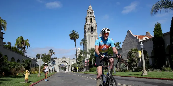
Balboa Park comprises 1,200 acres right in the middle of San Diego—and this convenient location is what makes these mountain-bike trails a favorite spot for locals. Start with the 4.5-mile “Balboa Loop” around the perimeter of the park. You will have to get on the road around the golf course and then again at the northeast corner. Then, tack on additional bike trails along Pershing Drive to experience a variety of different mountain bike loops.
Mission Trails Regional Park
Parking: At the visitor center or the Father Junipero Serra trailhead
Level of Difficulty: Moderate
Routes and distance: 4 miles to 20 miles
Mission Trails Regional Park boasts 8,000 acres of rugged San Diego bike trails and open space in northeast San Diego County. The main artery, Father Junipero Serra Trail, is a fairly easy paved 2.5-mile multi-use hike and bike trail, but you can head from there up the Fortuna Saddle trail or take the perimeter bike trail. The North Fortuna trail is more technical and you should expect some rocky spots. If you’re a more advanced rider, park at the Big Rock trailhead on the east side of the park and take the mountain bike trails up to Cowles Mountain and onto Pyles Peak. Check out a trail map before you go—some routes are closed to cyclists.
Noble Canyon Bike Trails
Parking: Parking is free at the Penny Pines trailhead or at the trailhead off Sunrise Highway, but parking at the lower trailhead in Pine Valley requires a $5 adventure pass
Level of Difficulty: Difficult
Routes and distance: 18 miles
Considered to have the best mountain biking trails in San Diego, Noble Canyon is located about 40 minutes east of the city on the side of Mount Laguna. Noble Canyon, part of the Forest Service, has miles of technical singletrack mountain-bike trails and is most popular for its 10-mile downhill ride through three different topographic areas. You can park at the lower trailhead and ride up the main paved Pine Creek Road before dropping back down the extremely difficult Noble Canyon bike trail descent for a full loop. Shuttling, however, is also an option for downhill riders, who will leave from the trailhead off Sunrise Highway and just do the descent. For a lighter ride, take Big Laguna to the Meadow Spur. Check out San Diego Mountain Biking Association’s trail map to plan the perfect route for you.
Best Bike Trails and Paths in San Diego for Casual Riders
Rose Canyon Bike Path and Trail
Parking: At the cul-de-sac at the end of Santa Fe Road or at University City High School on Genesee Avenue
Level of Difficulty: Easy
Routes and distance: 1-5.5 miles
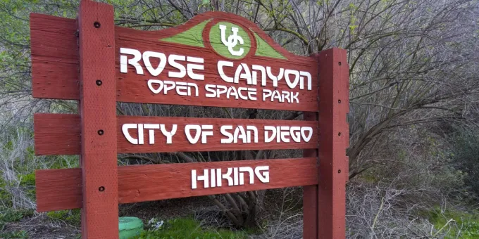
Rose Canyon bike trail has a little bit of something for everyone. Located at the end of Santa Fe Street, adjacent to Highway 5, this paved path continues north for just over a mile, running through the canyon and next to the railroad tracks. The paved bike path ends at La Jolla Colony Drive, but a short ride will spit you out to the right on the dirt bike trail into Rose Canyon Open Space, which connects over the railroad tracks to the main flat Rose Canyon dirt bike trail that runs through a quiet canyon. You can also park on Genesee Avenue and start from the north end of Rose Canyon Trail.
Silver Strand Coronado Bike Trail
Parking: Park on the street in Coronado or Imperial Beach, or in the Bayshore Bikeway parking lot, located about two miles down the bike path as you’re driving north on Highway 75
Level of Difficulty: Easy
Routes and distance: 7 miles
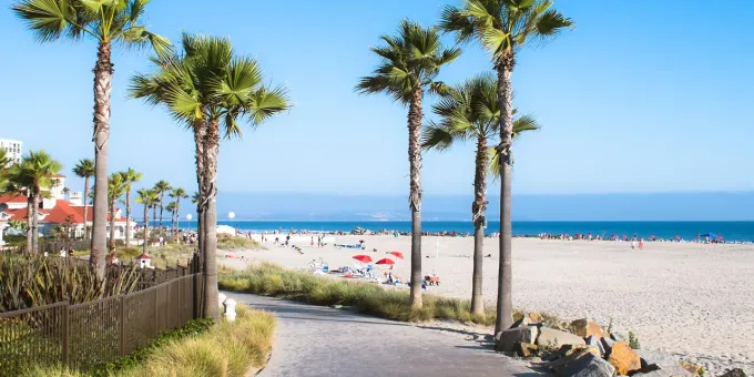
The Silver Strand is a long strip of sandy white beach that connects Coronado and Imperial Beach. It is also home to one of San Diego’s best dedicated, car-free bike trails: the Bayshore Bikeway. Start your ride at Imperial Beach on the south end, or park in Coronado and enter the bike path by the golf course. The bike path passes through a number of San Diego parks, including Silver Strand State Beach. In August, the Bike the Bay event lets people ride across the Coronado bridge too.
Mission Bay Bike Path
Parking: Parking lots available at Bonita Cove, Crown Point Park, and De Anza Cove Park
Level of Difficulty: Easy
Routes and distance: 12 miles
Mission Bay, located on the north side of San Diego, is made up of 4,000 acres of wetlands, marshlands, and saltwater bay. It also has a popular San Diego bike trail along its shoreline that makes for an easy, flat, beautiful ride. Go out-and-back or do the full 12-mile loop past parks, beaches, waterways, and over bridges. The majority of the bike route is on a protected, car-free bike path, but you will have to get on the road briefly at Mission Bay Drive. If you’re looking to add on, the four-mile hilly bike route on Fiesta Island is popular with road cyclists and often hosts races. Check out this Mission Bay Bike Path page for more information.
Best Bike Trails and Paths in San Diego for Road Cyclists
Point Loma/Cabrillo Monument Bike Route
Parking: Collier Park in Pt. Loma
Level of Difficulty: Moderate
Routes and distance: 16 miles
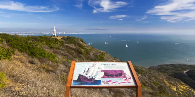
There are multiple ways to explore this San Diego bike route, which is a staple for local riders in the city. One option: Park at Collier Park or on neighborhood streets nearby, then zigzag through the neighborhood streets to Sunset Cliffs Boulevard and ride along the coast. Then take Ladera Street to eventually connect to Catalina Boulevard (which becomes Cabrillo Memorial Drive). Ride the rolling hills all the way to the Cabrillo National Monument for one of San Diego’s prettiest bike routes. You can turn around there or pay the $10 to enter the park by bike and tack on a couple miles out to the lighthouse and tide pools. On your return, you can either go back the way you came or for a full loop you can cut through the hilly neighborhoods and ride past Liberty Station, before coming back on Chatsworth Boulevard through the Loma Portal. (Check out the San Diego Reader’s turn-by-turn details for this San Diego bike trail.)
Pacific Coast Highway Bike Routes
Parking: Lots off Torrey Pines Scenic Drive or at Black’s Beach Park or at Torrey Pines State Reserve
Level of Difficulty: Moderate
Routes and distance: 40 miles
The Pacific Coast Highway, as its name suggests, runs along the coast and is one of the top San Diego routes for cyclists, runners, and walkers. It is, however, also a popular road for drivers and surfers—which means traffic can be heavy and cyclists should be cautious and alert for sudden changes like car doors opening. You can start biking anywhere along the PCH and ride as far as you want, but if you’re looking to avoid downtown, park on the north end of UCSD’s campus and start your bike route north on Torrey Pines Road through the Torrey Pines State Natural Reserve, a 2,000-acre park with cliffs that overlook the water. Looking for a good stopping point? Swami’s Cafe in Encinitas is a popular place to fuel up.
Mt. Palomar Bike Route
Parking: Park at Pauma Elementary School or water district just to the east of the start
Level of Difficulty: Difficult
Routes and distance: 40 miles
Of course San Diego bike trails along the coast are lovely, but San Diego cyclists spend as many miles in the mountains and hills to the east of the city. If you want to hit the Alpe d’Huez of San Diego, ride up Palomar Mountain, which is one of the most popular San Diego biking routes. The bike climb itself is a bit more than12 miles, starting at the intersection of Highway 76 and Valley Center Road. Be aware that the first five miles are on busy narrow roads, but once you make the turn onto South Grade Road you’ll be free of traffic and have 18 switchbacks waiting for you. At the top, refuel at the Palomar General Store, then take the long descent down East Grade Road to catch a glimpse of Lake Henshaw before turning back on Pala Road to your bike route starting point. Or you can try the 91-mile version recommended by the pros.
Plan Your Trip
There’s a reason biking in San Diego is so popular, but before you head out on any of these San Diego bike trails be sure to check out these tips for a safe and enjoyable ride. Know your route and follow road rules; all riders over 18 must wear a helmet. If you’re hesitant about heading out on your own, consider joining a bike tour or cycling event. And if you get inspired to keep riding, check out some of the pros’ picks for the best California bike routes.
